Home page content

Top Story
Undergraduate Open Days
We're offering a number of travel bursaries for our Open Days on 26 and 27 June. Find eligibility criteria and how to apply on our Study site.
Read more...News


Opportunities

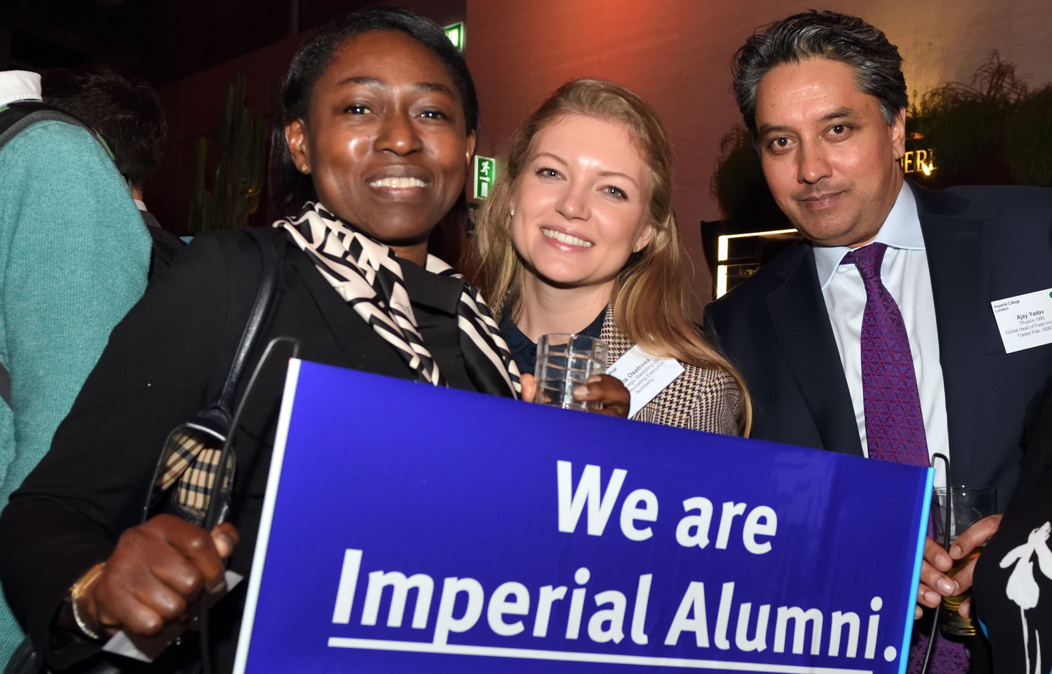
Support Imperial with a gift today
A gift to Imperial can provide vital bursaries, scholarships and a lifeline to a student in financial difficulty.
Make a gift todayStudying at Imperial
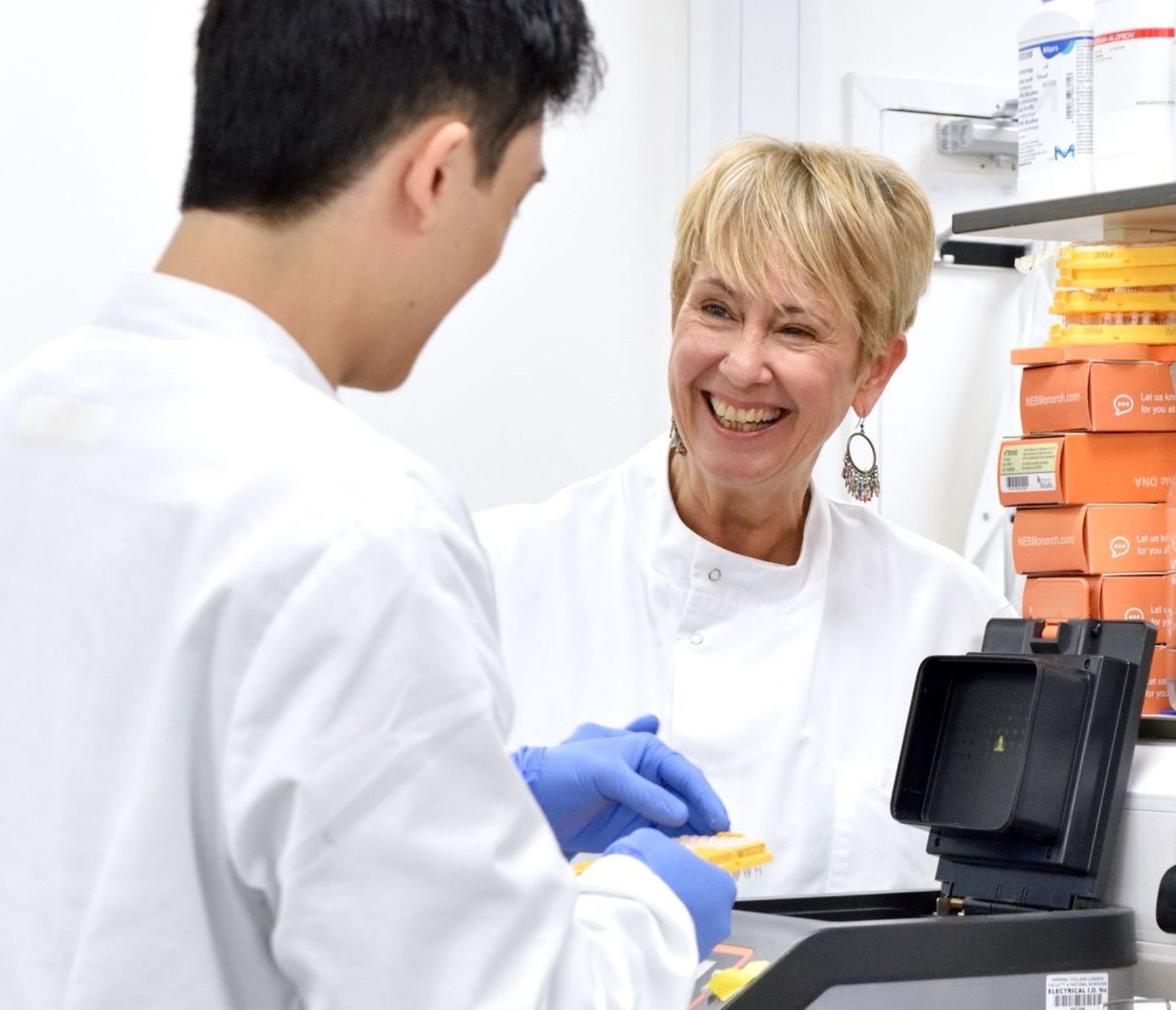
See why students from around the world choose to study with us.

Courses
Learn from world-class experts and be part of a global community. With so many discoveries happening all around you, expect to be inspired as we open your mind to the latest thinking in your subject.
Explore our courses
Apply
Ready to take the next step? Find out more about the admissions process on your journey to joining the Imperial community.
How to apply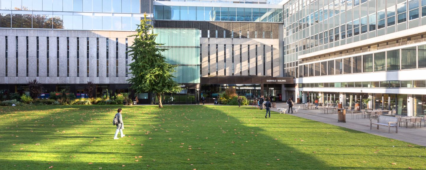
Fees and funding
All you need to know about funding your studies and how to find and apply for financial support.
Explore tuition fees, scholarships and more
Visit
Learn more about Imperial through an Open Day or virtual tour or join us at a variety of events – in-person and online.
Visit ImperialResearch and Innovation
REF 2021 finds that Imperial has a greater proportion of world-leading research than any other UK university